Exploration data, on a map anyone can open.
Linkable 2D/3D maps you can talk to and control with AI
Your compilation, published as a fast, secure web map: private for your team, public for your investors and your next press release, or embedded on your own website. Every map has shareable view links that open the exact layers and angle you set up. In 2D, in 3D, and with an assistant that answers questions about your data.
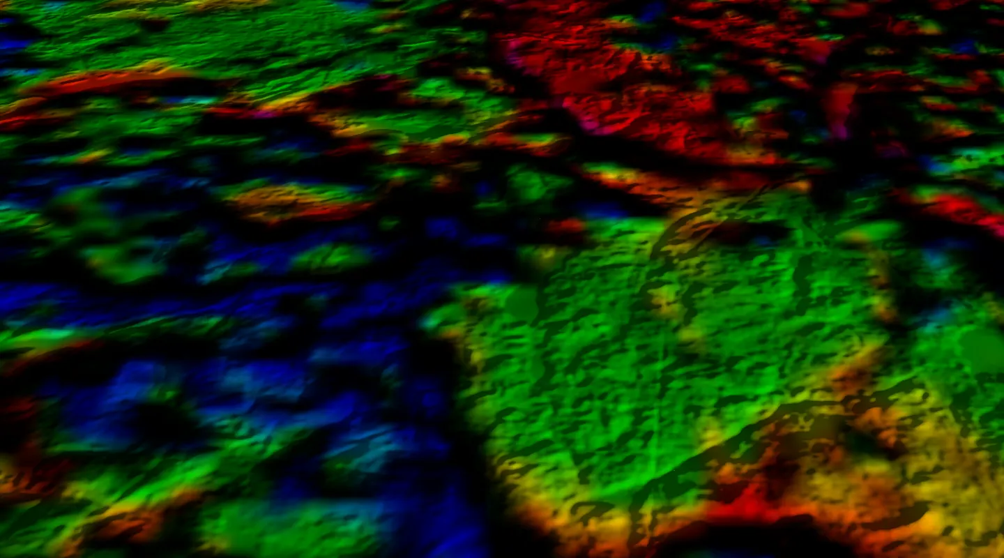
Aeromagnetics: Ontario Geological Survey, © King's Printer for Ontario. Terrain: Copernicus DEM GLO-30. 5x vertical exaggeration.
Designed by a professional geologist
Designed by a professional geologist for the way exploration teams actually work and report.
Simple pricing
One map in a company portal, or a plan with managed publishing and AI credits. See pricing.
Consulting
Need more than a map? Compilation, data review, targeting and figures for your next release. Contact us today.
What your map can do
Control the map with AI
A built-in assistant reads your layers and their data tables. Ask in plain English: it answers, finds the samples or holes you mean, highlights them and flies to them. Investors can ask it too, on the maps you choose to make public. When a request is unclear, it asks.
“Which rock samples ran over 1 g/t gold? Show them on the map.”
On your own website
BetaPut the live map on your company site, next to the news release, instead of a static figure. Our WordPress plugin takes the map's link; Divi, Wix, Squarespace and the rest take one snippet. It shows only on the sites you name.
Your site → Projects → live map
Linkable compilations
One link opens the exact view you set up: the layers, the basemap, the zoom and, in 3D, the camera angle, exaggeration and sun shading. Save a view and share it with colleagues, or put it in a press release, an email or a data room: it opens the same way every time.
minexmaps.com/your-company/drill-results
Your drilling, underground in 3D
Drill holes in 3D below the terrain, coloured by grade, with intercepts labelled as you reported them. Cut the ground away at any elevation, draw a cross-section, and annotate underground: join intervals across holes into a zone, fit a plane through intercepts to read its strike and dip, and show your own 3D models.
Section | Depth slice | Zone sketches | Planes | Your 3D models
3D terrain with geophysics on top
Every map gets a 3D terrain model. Drape magnetics, gravity or geology over it, raise the vertical exaggeration and turn hillshade on to see structure that is hard to read in 2D.
“Turn on the magnetics and switch to 3D.”
Several ways to view it
The same compilation in a full GIS-style viewer with measuring, printing and search, a fast lightweight viewer for phones, and 2D and 3D side by side.
2D map | 3D terrain | 2D + 3D | underground
Looking to just build your own simple map?
Our free map editor runs in your browser: drop in GeoJSON, KML, GPX, CSV or a zipped shapefile, colour drill collars by grade, draw targets, add a title, legend, north arrow and scale, and export a PNG or PDF. Your files are never uploaded, and no account is needed.
We set it up, or you do it yourself
Done for you
Send us what you have: a QGIS project works best, but drill tables, shapefiles and figures from your last release do too. A professional geologist builds the map, reviews it and hands you the link.
Send your data
QGIS project, drill tables, shapefiles, as they are.
We build and check it
Styles kept, layers made fast, drilling in 3D.
Share one link
Private for your team, public for a press release, or on your website.
Do it yourself
BetaAlready working in QGIS? Publish your own maps and update them whenever you like, and book a geologist's review before a release if you want one. Open to invited teams while in beta.
Self-publishing is still being tested. For now, the best way to get a map up is to contact us directly.
QGIS plugin
Publish straight from QGIS with one button.
Or upload
Drop your packaged project in the browser.
Your link updates
Republish and the same link shows the new data.
Try the demo map, and ask it a question
A real compilation in 2D and 3D. Press “Ask the map” and ask about the samples or the geology, or take the guided tour of the buttons. No sign-up.
Your own custom map viewer
Want a map site of your own? We build a custom map viewer for your website, on your domain and in your branding, with your projects, data rooms and investor maps.